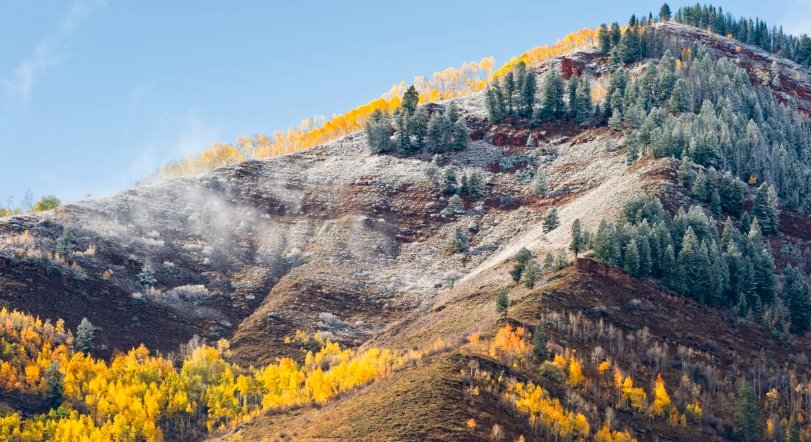
A first freeze of the season will hit western Colorado early Tuesday morning, with temperatures dipping into the 20s and a Freeze Warning in place for key areas. This cold snap follows a cold front moving through the state, catching many residents off guard as they wrap up fall activities.
Freeze Warning Details and Impacts
The National Weather Service has issued a Freeze Warning that starts at 10 p.m. Monday and runs until 9 a.m. Tuesday. This alert covers a wide stretch of the region, signaling potential damage to unprotected plants and pipes. Experts note that such early cold can harm sensitive crops and outdoor systems if not addressed quickly.
In the Grand Valley and along major corridors, lows could reach as low as 19 degrees in the coldest spots. Most places will see temperatures between 25 and 29 degrees, which is enough to freeze shallow water sources. This marks the first widespread freeze for many communities this year, coming later than the usual October 7 average for parts of the state due to warmer fall patterns.
Residents should watch for effects on agriculture, as fruit trees and late-season vegetables face the biggest risks. Local farmers report that this freeze could cut yields by up to 20 percent in unprotected fields, based on past events. The timing adds pressure, as harvest season winds down across the Western Slope.

Areas Under the Warning
The warning affects several counties and communities in western Colorado and nearby regions. From the Grand Valley to the Four Corners, people need to take steps to protect their properties.
Key spots include Grand Junction, Delta, Montrose, and Cortez, along with smaller towns like DeBeque, Parachute, and Rifle. The I-70 Corridor from DeBeque to Silt and the Highway 50 route from Grand Junction to Montrose fall under the alert. Parts of Montezuma, La Plata, Dolores, and San Miguel counties also face the chill, including Durango, Dolores, and the Ute Mountain Reservation.
Travelers on these routes should prepare for slick conditions if moisture mixes with the cold. Recent data shows that similar freezes in prior years led to minor accidents on Highway 50 due to frost on roads.
- Grand Junction and surrounding areas
- DeBeque, Parachute, Rifle, Silt
- Delta, Montrose, Olathe
- Cortez, Dolores, Durango, Dove Creek
- Ute Mountain Reservation
Expected Temperatures and Weather Pattern
Tonight starts with lingering clouds clearing out, leading to a mainly clear and cold evening. Temperatures will drop steadily from the mid-50s around 6 p.m. to the low 40s by 10 p.m. By morning, expect lows near 29 degrees in Grand Junction, 27 in Montrose and Delta, 26 in Cortez, and 32 in Moab.
Tuesday brings sunny skies and cooler highs, warming from the mid-20s at 7 a.m. to the low 50s by afternoon. Highs will reach about 53 degrees in Grand Junction, 51 in Montrose, 55 in Delta, 58 in Cortez, and 56 in Moab. This pattern ties into a broader trend where Colorado’s first freezes arrive later amid shifting weather norms.
To give a clear view of the lows, here is a table of expected minimum temperatures for select locations:
| Location | Expected Low (°F) |
|---|---|
| Grand Junction | 29 |
| Montrose | 27 |
| Delta | 27 |
| Cortez | 26 |
| Moab | 32 |
These figures come from verified forecasts and highlight the need for caution in lower elevations.
Mountain Snow and Travel Concerns
A cold front ushers in not just the freeze but also some precipitation in the mountains. Snow will pick up over central areas this evening, though it should taper off by midnight. Most spots will see less than 2 inches, but up to 1 to 4 inches could fall along the eastern Continental Divide near Georgetown and Winter Park.
Travel along I-70 might slow briefly around Vail Pass due to snow. Drivers should check road conditions, as even light accumulation can make passes tricky. This event echoes a similar front last week that brought minor delays but no major issues.
The snow adds to the seasonal shift, with ski areas like Winter Park gearing up earlier than usual. Officials predict this could boost early-season snowpack by 5 percent, aiding water supplies later in the year.
Preparation Tips for the Cold Snap
To avoid damage, take simple steps before the freeze sets in. Protecting plants and pipes now can save headaches and repair costs down the line.
Cover sensitive vegetation with frost cloth or blankets, and bring potted plants indoors. Drain outdoor faucets and insulate exposed pipes to prevent bursting. For swamp coolers and sprinklers, ensure they are winterized if not already done.
Here are key actions to consider:
- Cover or move plants indoors
- Insulate pipes and drain hoses
- Shut off and drain sprinkler systems
- Check on pets and livestock for shelter
- Secure garage doors to block cold air
These measures have helped residents in past freezes reduce losses by half, according to local reports. Staying proactive keeps the focus on enjoying the crisp fall air rather than dealing with aftermath.
As this first freeze signals winters approach in Colorado, share your preparation stories or weather tips in the comments below. Like and share this article to help others stay safe and informed.


