Grand Junction and much of western Colorado will face gusty winds up to 30 mph Tuesday afternoon, creating dangerous conditions for outdoor burning and increasing the risk of rapid wildfire spread across the already dry region.
The National Weather Service has issued a Fire Weather Watch for parts of southwest Colorado, with critical fire weather conditions possible from noon until 8 p.m. as warm, dry, and windy weather combines to create a perfect storm for fire growth.
Peak Wind Timing Across the Region
Winds will pick up quickly after noon, with the strongest gusts hitting between 2 p.m. and 7 p.m.
- Grand Junction: gusts 25-30 mph
- Montrose and Delta: 20-28 mph
- Cortez and Durango areas: 20-25 mph
- Moab, Utah: 25-30 mph possible
- High mountain passes: sustained winds 30-40 mph with gusts over 50 mph
The Colorado Department of Transportation warns that high-profile vehicles may face difficult driving conditions on I-70 west of the Eisenhower Tunnel and along Highway 50 over Monarch Pass.
Any outdoor burning Tuesday is strongly discouraged. Even a small spark could explode into a major wildfire under these conditions.
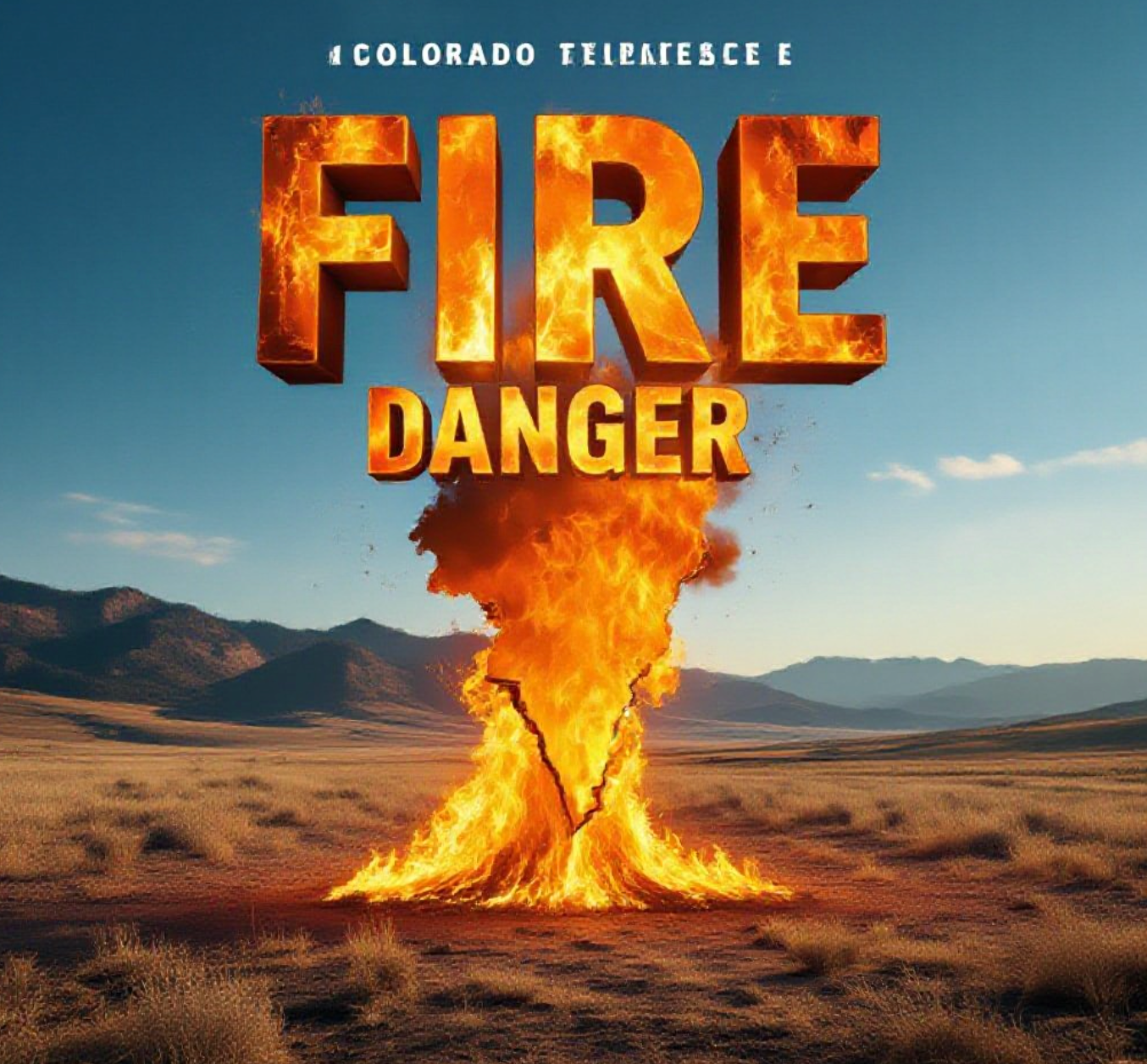
Why the Fire Danger is So High Right Now
Western Colorado is experiencing extreme drought conditions, with Grand Junction recording its driest start to any year on record. As of March 10, the city has received just 0.17 inches of moisture since January 1.
Dead grass and brush from last year’s record-low snowfall are completely cured and ready to burn. Relative humidity will drop into the teens Tuesday afternoon while temperatures climb into the upper 60s and lower 70s, conditions more typical of May than March.
The combination creates what firefighters call “critical fire weather,” where new fires can spread rapidly and existing fires become nearly impossible to control.
Record Warmth Continues This Week
Tuesday will be the warmest day of the week before a weak cool front drops temperatures 5-10 degrees on Wednesday.
Expected high temperatures Tuesday:
- Grand Junction: 68°F
- Delta: 69°F
- Montrose: 65°F
- Cortez: 64°F
- Moab: 72°F
These readings are 15-20 degrees above normal for mid-March. Grand Junction’s normal high this time of year is only 53°F.
The warm pattern will quickly rebound, with temperatures returning to the mid-and-upper 60s Thursday and pushing into the lower 70s by Friday. Several communities could see their first 80-degree day of 2025 by early next week, potentially two to three weeks ahead of schedule.
What Residents Should Do Now
Fire officials urge everyone to take these precautions immediately:
- Postpone all outdoor burning until conditions improve
- Avoid parking vehicles on dry grass (hot catalytic converters can start fires)
- Secure trash cans and outdoor items that could blow around
- Clear dead vegetation 30 feet from homes
- Have go-bags ready in case of sudden evacuation
The extreme dryness means even activities like grinding, welding, or shooting can spark wildfires. Mesa County Sheriff’s Office has already responded to several small fires started by target shooting this month.
This unusually warm and dry March has caught many by surprise, but firefighters say they’re preparing for what could be another difficult fire season. The combination of record-low snowpack, extreme drought, and early heat has created conditions they normally don’t see until June or July.
Stay weather aware Tuesday, keep plans flexible, and most importantly, don’t give fire any chance to start. One spark could change everything in minutes under these conditions.
What do you think about this early fire danger? Share your thoughts below and use #WesternColoradoFireRisk if you’re posting on social media.