A cold front is set to sweep through Grand Junction, Colorado, on Tuesday, September 16, 2025, bringing a chance of scattered showers and leading to cooler temperatures in the days ahead. This shift comes after a week of heavier rain, with local forecasts indicating mostly dry conditions but possible brief precipitation in the afternoon and evening.
Last Week’s Rain Sets the Stage
Last week delivered much-needed rain to western Colorado, contrasting sharply with the drier pattern expected this week. Grand Junction saw over two-thirds of an inch of total rainfall from Tuesday through Saturday, including a notable 0.36 inches on Friday alone, the highest single-day amount since late November 2024.
This moisture helped ease some drought concerns in the region, where dry spells have been common this summer. Residents reported minor flooding in low-lying areas, but overall, the rain provided relief without major disruptions. As we move into this week, the focus turns to a new weather system influencing the area.
Experts note that such patterns are typical for early fall in Colorado, where monsoon remnants can linger before cooler air takes over. This transition often brings variable conditions, keeping locals on alert for sudden changes.
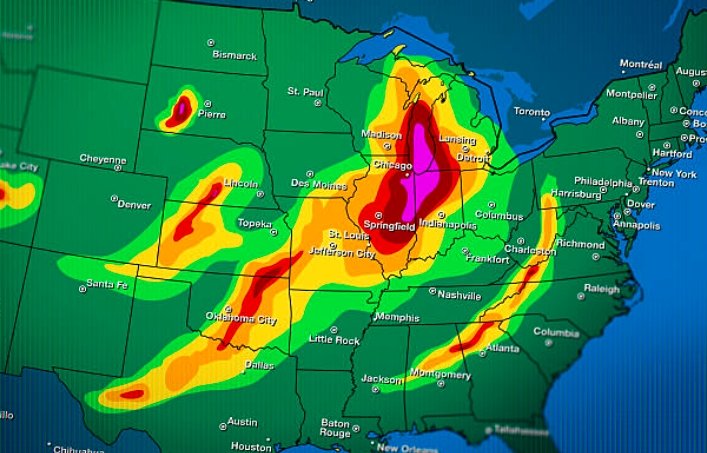
Tuesday’s Cold Front and Shower Risks
The cold front originates from a low-pressure system over Wyoming and Montana, pushing southward into Colorado. While the heaviest rain and snow will stay north, parts of northwest Colorado, including areas around Craig, Meeker, and Dinosaur, could see showers from morning through evening.
In Grand Junction and nearby spots like Montrose, Delta, and Cortez, the day starts sunny along Interstate 70 and south, with clouds building later. Highs will reach the low to mid-80s, but a few stray showers might pop up after dark, though most places will remain dry.
Snow is possible on higher peaks in the High Country, adding to the seasonal feel. By midnight, any rain chances fade, clearing the way for sunshine on Wednesday.
- Chance of showers in Grand Junction: Around 20%, mainly in the evening.
- Expected rainfall: Minimal, less than 0.1 inches for affected areas.
- Wind impacts: Light gusts up to 15 mph along the front.
This setup aligns with recent trends, where isolated storms have dotted the region without widespread effects.
Local meteorologists emphasize that while not everyone will see rain, it’s wise to prepare for quick changes, especially for outdoor plans.
Cooler Weather Follows the Front
After Tuesday’s activity, temperatures drop noticeably, signaling a shift to more fall-like conditions. Wednesday brings sunny skies with highs in the upper 70s, a dip from recent warmth.
This cooling trend continues through the week, with lows dipping into the 40s and 50s overnight. By Thursday, expect comfortable days in the mid-70s, ideal for enjoying the outdoors without the summer heat.
Compared to last week’s on-and-off rain, this period offers stability, though another minor system could bring slim shower chances by Saturday.
| Day | High Temp (Grand Junction) | Low Temp | Weather Notes |
|---|---|---|---|
| Tuesday | 83°F | 56°F | Partly cloudy, possible evening showers |
| Wednesday | 78°F | 52°F | Mostly sunny, cooler and dry |
| Thursday | 76°F | 50°F | Clear skies, light winds |
| Friday | 80°F | 54°F | Increasing clouds, small rain chance late |
These forecasts draw from patterns seen in recent years, where early September often ushers in cooler air masses from the north.
Residents in elevated areas should watch for frost risks as nights cool further.
Broader Impacts on Western Colorado
The cold front’s effects extend beyond Grand Junction, influencing agriculture and recreation across western Colorado. Farmers welcome the potential moisture after a dry August, which stressed crops in the Grand Valley.
Outdoor enthusiasts, from hikers in the Colorado National Monument to anglers along the Gunnison River, may adjust plans for Tuesday’s uncertainty. Recent social media buzz highlights excitement for the cooler weather, with many sharing tips on fall layering.
This event ties into larger climate patterns, including a weakening La Niña influence that could mean more variable weather this fall. Similar fronts last year brought early snow to the mountains, boosting ski resort preparations.
Communities like Moab, just across the border, will see similar highs in the mid-80s on Tuesday, with minimal rain risks.
Looking Ahead to the Weekend
The next notable weather maker arrives Friday night into Saturday, again with low chances for scattered showers. Most areas should stay dry, but it’s a reminder of Colorado’s unpredictable nature.
Longer-term outlooks suggest a gradual cooling through late September, with average highs dropping to the 70s by month’s end. This aligns with historical data showing September as a transition month, often mixing warm days with crisp nights.
For now, the focus remains on Tuesday’s front, which could provide a brief refresh before drier air dominates.
Stay informed on local weather updates, and share your experiences with this cold front in the comments below. How is it affecting your plans? Let us know and pass this article along to friends in the area.