Grand Junction, Colo. — A quick shot of snow will dust the central and northern Colorado mountains Wednesday night into Thursday morning, but the real story is what comes next: a dramatic warmup that pushes temperatures 15-20 degrees above normal this weekend across the Western Slope.
Residents who have shivered through a colder-than-average start to January will finally get relief. Highs will climb into the low-to-mid 50s Saturday and Sunday — numbers more typical of early April than late January.
Mountain Snow Arrives Tonight
The snow begins after dark Wednesday over the Elk Mountains, Gore Range, Flat Tops, and Park Range. Accumulations stay light: most areas will see 1-3 inches, with 4-6 inches possible on the highest peaks and passes.
Travel impacts appear minimal. CDOT crews are pre-treating I-70 over Vail Pass and the Continental Divide, but the snow should taper off by early Thursday afternoon. Motorists heading to the high country Wednesday night or Thursday morning should still carry chains and allow extra time.
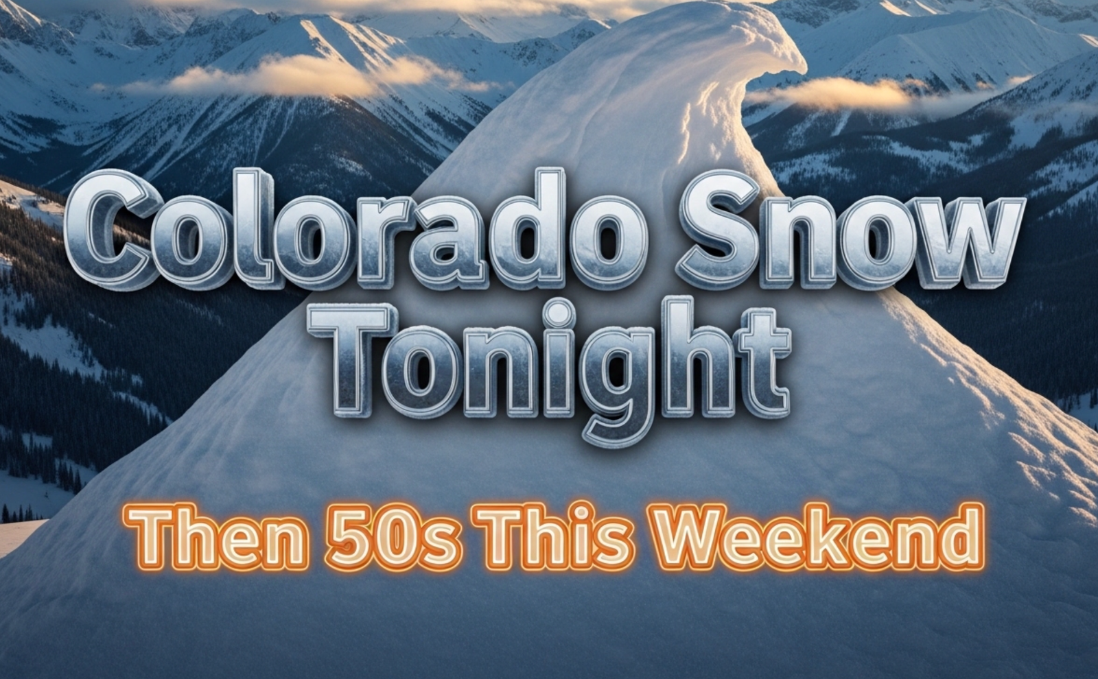
Weekend Warmth Feels Like Spring
Saturday and Sunday will deliver the warmest weather of the season so far.
Expected highs this weekend:
- Grand Junction: 53-56°F
- Montrose: 51-54°F
- Delta: 54-57°F
- Cortez: 55-58°F
- Moab: 56-59°F
Morning lows will only dip into the low-to-mid 20s — a far cry from the single digits and teens that dominated most of January.
The warmup arrives courtesy of a strong ridge of high pressure building over the western United States. Meteorologists say the pattern locks in through at least Tuesday, with many locations potentially hitting 60°F early next week.
Snowpack Remains Well Below Normal
Despite the fresh mountain snow, the overall snowpack picture stays grim.
As of January 29, statewide snow water equivalent sits at just 68% of normal — one of the lowest readings in years. The Upper Colorado River Basin, which supplies water to millions downstream, measures only 64% of median.
Grand Junction has recorded just 3.0 inches of snow since July 1 — barely a quarter of the normal 11.6 inches for this point in the season.
Local water managers are watching closely. “Every storm helps, but we need several big ones in February and March to avoid another drought declaration,” said one Montrose water official who asked not to be named.
Farmers and Ski Areas Feel the Squeeze
The warm, dry pattern brings mixed emotions across western Colorado.
Fruit growers in the North Fork Valley welcome the milder nights — peach buds remain dormant and safe from extreme cold. But ski areas continue to struggle. Powderhorn Resort near Grand Junction has only 40% of its terrain open, while smaller areas like Sunlight Mountain have delayed openings entirely.
“People keep asking when we’ll get real snow,” said a Powderhorn spokesperson. “We’re doing everything we can with snowmaking, but Mother Nature has to cooperate eventually.”
What Residents Are Saying
Social media feeds across the Western Slope lit up Wednesday with a familiar mix of excitement and skepticism.
One Grand Junction resident posted: “I’ll believe 55° in January when I feel it. But I’m not complaining.”
Another in Montrose wrote: “Great for the heating bill, terrible for the rivers. Pick one, Colorado.”
The sudden swing from below-zero mornings earlier this month to spring-like conditions this weekend has become the new normal in recent years. Climate scientists point to a warming atmosphere that holds more moisture and creates bigger temperature extremes.
For now, most residents appear ready to enjoy the gift.
Sidewalks in downtown Grand Junction already buzzed Wednesday afternoon with people in light jackets. Kids rode bikes after school. Hardware stores reported a rush on patio furniture and garden supplies — in January.
The brief mountain snow tonight serves as Colorado’s last winter reminder before an early taste of spring arrives.
Enjoy it while it lasts. February can still deliver surprises.