A storm system from the Gulf of Alaska heads toward Colorado this Friday, bringing rain to valleys and snow to mountains on the Western Slope. Experts say the weather could shift south, leading to more rain than expected in lower areas and lighter snow up high.
Changing Forecast Details
Forecasters track a low pressure area over the Gulf of Alaska with a cold front moving south. This setup pushes cold air around the system and digs a trough down the Pacific Coast. New models show the trough forming a low pressure circulation from Southern California through Arizona and New Mexico. If this holds, the storm’s strongest part skips north of the Western Slope. Still, changes remain possible, so locals should check updates often.
The shift comes from recent data showing the system tracking farther south than first thought. This means less intense impacts here compared to earlier predictions. Weather patterns like this often adjust as they near land, based on past events such as last year’s November storms that brought surprise rains to the region.
Impacts on the Western Slope
Rain looks set to hit the Western Slope on Friday, with a small chance of turning to slushy snow overnight into Saturday. Valleys stay warm enough that any snow would melt fast if it falls. Moisture might move ahead of the cold air, cutting off rain before snow starts.
Travel could see minor delays from wet roads, but nothing major in flat areas. Farmers and outdoor workers prepare for soggy fields, which could help end the dry spell seen in early November. Recent trends show such rains boost local water supplies, tying into broader efforts to manage drought in the Southwest.
Here are key impacts for residents:
- Wet conditions raise slip risks on highways like I-70.
- Possible minor flooding in low spots near rivers.
- Benefits for agriculture with needed moisture after dry weeks.
Shifts in Mountain Snow Patterns
The storm’s southern move focuses snow on southern mountains from Friday afternoon through Saturday. Areas along I-70 might see more action Sunday, but overall amounts drop from initial forecasts. Northern spots near I-70, Highway 40, and Highway 24 face lighter flurries with little travel trouble.
Highways like 50 over Monarch Pass, 550, and 160 near the San Juans could face bigger issues with heavier snow. Central and northern mountains get flurries Saturday before picking up Sunday. This pattern echoes last winter’s variable snow events that spared some passes but hit others hard.
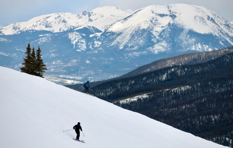
Experts note the San Juans often catch the brunt due to elevation and wind patterns. Ski resorts in these areas gear up early, as seen with recent openings at places like Keystone.
Expected Snowfall Amounts
Snow totals adjust lower across the board. Valleys see less than an inch, mostly melting on contact. Higher spots like Grand Mesa and Elk Mountains to Aspen expect one to two inches at most.
Southern areas in the San Juans could get 5 to 10 inches, with less around Ouray, Lake City, and Wolf Creek Pass. Central mountains top out at one to two inches, while north of I-70 gets just dustings.
| Area | Expected Snow (inches) | Likelihood |
|---|---|---|
| Valleys (e.g., Grand Junction) | Less than 1 | Low |
| Grand Mesa & Elk Mountains | 1-2 | Medium |
| San Juans | 5-10 | High |
| Central Mountains | 1-2 | Medium |
| North of I-70 | Dusting | Low |
This table shows how amounts vary by region, helping travelers plan routes.
Outlook for the Next 24 Hours
Tonight stays mostly clear with cooling temperatures. Highs dip from upper 40s and lower 50s around 6 PM to low to mid 40s by 8 PM, then upper 30s and lower 40s at 10 PM. Lows hit near 35 degrees in Grand Junction, 32 in Montrose and Delta, 28 in Cortez, and 33 in Moab.
Tuesday brings mostly sunny skies and warming. Mornings start in low to mid 30s at 7 AM, reaching mid to upper 50s by noon and low to mid 60s at 3 PM. Highs near 63 in Grand Junction, 62 in Montrose, 65 in Delta, 64 in Cortez, and 63 in Moab.
Stay safe out there and keep an eye on forecasts as this storm develops. Share your weather tips in the comments below and spread the word to help others prepare.