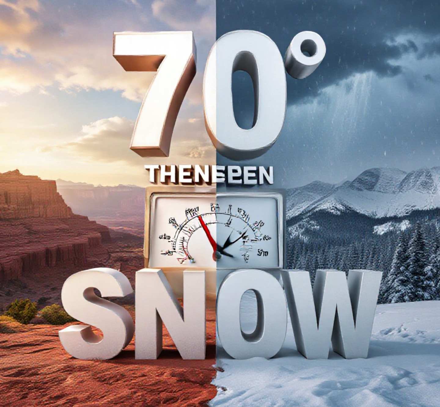
GRAND JUNCTION, Colo. — Western Colorado kicks off the new week with summer-like warmth on Monday, as Grand Junction is forecast to reach 70 degrees for the first time since early November. That milestone arrives weeks ahead of the historical average of March 26, but the warmth will be short-lived. A sharp pattern shift brings cooler air and the best chance of widespread precipitation in months starting Thursday night.
The spring tease ends quickly. By Friday, highs struggle to reach the lower 50s, with rain changing to snow in many valleys and significant accumulation expected in the mountains.
Monday: The Warmest Day of 2025 So Far
The National Weather Service and local meteorologists agree: Monday will deliver the first 70-degree high in Grand Junction since November 5, 2024. Some private models even nudge temperatures into the lower 70s across the Uncompahgre Plateau and Delta area.
Expected highs Monday afternoon:
- Grand Junction: 70°
- Delta: 72°
- Moab: 72°
- Montrose: 68°
- Cortez: 67°
Morning clouds give way to mostly sunny skies by afternoon, creating perfect conditions for outdoor lunch breaks, bike rides, or that first backyard barbecue of the year. Lows Monday night stay mild in the upper 30s to lower 40s.
This early-season warmth matches a trend seen across the Western Slope in recent years. Last year the first 70-degree day came February 3, 2025, while the latest on record remains April 30, 1941.
Sharp Cool-Down Begins Tuesday
The mercury starts sliding Tuesday with highs dropping to the upper 50s and lower 60s, about 10-15 degrees below Monday’s readings. Skies remain mostly dry through Wednesday, though increasing clouds signal the approaching system.
Overnight lows dip into the low-to-mid 30s by Wednesday morning, cold enough for light frost in traditional cold spots like Cedaredge, Paonia, and parts of the Grand Valley.
Best Rain and Snow Chance Since Early Winter
The big story arrives Thursday night into Friday. A strong Pacific storm system dives southeast across the region, spreading widespread precipitation across western Colorado and eastern Utah.
Current model guidance shows:
- 0.25–0.75 inches of liquid across lower valleys (Grand Junction to Moab)
- 4–10 inches of snow possible above 7,000 feet
- 1–3 inches of slushy accumulation possible in lower valleys Friday morning, especially north of I-70
This will be the most significant valley rain event since late fall. Farmers, water managers, and fire officials are watching closely, as soil moisture remains critically low after an exceptionally dry winter.
Mountain snow will provide a much-needed boost to late-season snowpack. Telluride, Crested Butte, and Powderhorn could pick up enough snow to extend operations into April.
Weekend Rebound, But Still Below Average
The storm clears out by Friday afternoon, leaving behind blustery winds and chilly conditions. Highs Friday top out only in the upper 40s to lower 50s, with morning lows in the mid-to-upper 20s Saturday, the coldest readings since early February.
Improvement arrives this weekend. Dry weather returns Saturday with highs climbing back toward 60 degrees by Sunday afternoon under partly to mostly sunny skies.
Why This Pattern Flip Matters
After one of the driest and warmest winters on record across the Colorado River headwaters, any moisture is welcome. The incoming system won’t end the drought, but it will provide temporary relief to parched soils and reduce extreme fire danger that has lingered into spring.
Gardeners should hold off on planting tender annuals until after this cold snap. Fruit growers in Palisade and the North Fork Valley are monitoring overnight lows closely, as peach and cherry buds are entering sensitive stages.
The roller-coaster temperature pattern is classic Colorado spring weather, reminding residents why the old saying exists: if you don’t like the weather, wait five minutes.
This active pattern may continue into late March, with additional storms possible next week. After months of quiet skies, western Colorado finally gets the moisture it desperately needs, even if it arrives with a brief return to winter-like conditions.
What do you think of this wild spring swing? Are you excited for Monday’s warmth or already preparing for Friday’s snow? Drop your thoughts in the comments below, and if you’re posting weather photos this week, use #WesternSlopeWeather so we can all follow along.