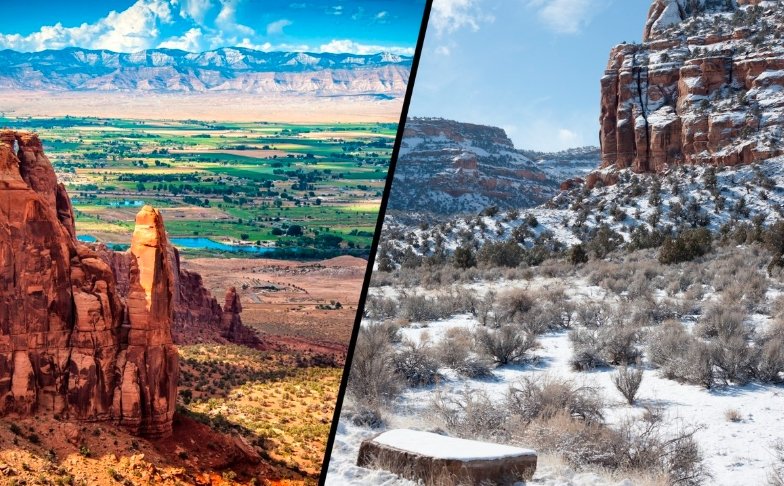
Residents in Grand Junction, Colorado, and surrounding areas face a mix of rain in the valleys and snow in the mountains on Thursday due to an incoming storm system. A Winter Weather Advisory highlights potential travel challenges in the southern San Juan Mountains, where up to 8 inches of snow could fall.
Winter Weather Advisory in Effect
The National Weather Service has issued a Winter Weather Advisory for the southern San Juan Mountains starting at 11 PM on Wednesday and lasting until 11 PM on Thursday. This alert covers key spots like Silverton, Rico, Molas Pass, Coal Bank Pass, and Wolf Creek Pass. Officials expect 4 to 8 inches of snow accumulation in these higher elevations, which could make roads slick and slow down drivers.
Travelers should plan ahead if heading through these areas. Highway 550 and Highway 160 may see tough conditions, especially over the passes. Experts advise using caution, reducing speed, and allowing extra time for trips. Recent data shows that similar advisories in November have led to minor accidents, underscoring the need for preparedness in this region known for variable fall weather.
Local authorities remind everyone to check road conditions before setting out. In past events, like a snow event earlier this month, some passes closed briefly, affecting commuters and tourists alike.

Detailed Timing for the Storm
Snow will start picking up in the San Juan Mountains around midnight tonight. Expect on and off flurries through Thursday morning before the system shifts north. Valleys will see a changeover to rain as the snow moves eastward.
After a short pause, heavier snow returns to the mountains with rain developing near the Four Corners region between 8 AM and noon. By afternoon, rain should spread to Grand Junction, Montrose, Delta, and Nucla, peaking around 6 PM. While some spots might dodge the wet weather, most areas stand a good chance of getting soaked compared to the drier days earlier this week.
The system begins to wind down by 10 PM Thursday night, with any leftover rain or snow clearing out between 5 AM and 9 AM Friday. This pattern fits November trends in western Colorado, where storms often bring a blend of precipitation types, averaging about 0.5 inches of rain and occasional light snow in the valleys.
- Key timing highlights:
- Midnight to morning: Increasing snow in mountains
- 8 AM to noon: Rain near Four Corners
- Afternoon to 6 PM: Widespread valley rain
- Evening: Fading precipitation
Travel Impacts and Safety Tips
This weather could disrupt daily routines and travel plans across western Colorado. With snow in the mountains, drivers on mountain routes face the biggest risks, but valley rain might cause minor flooding in low lying areas. Recent forecasts note that similar systems have led to ponding on roads like U.S. 50 near Delta.
For those commuting or running errands, expect mostly cloudy skies with scattered showers. Highs will reach the upper 40s to low 50s, but wet conditions could make things feel cooler. Aviation at local airports might see minor delays if visibility drops.
Safety remains a top priority. Here is a quick table of expected conditions and tips:
| Area | Expected Precipitation | Temperature High | Safety Tip |
|---|---|---|---|
| Grand Junction Valleys | Rain, 0.25-0.5 inches | 51°F | Watch for hydroplaning on highways |
| San Juan Mountains | Snow, 4-8 inches | 35-40°F | Carry chains and emergency kit |
| Montrose and Delta | Light rain | 49-54°F | Allow extra 30 minutes for drives |
| Cortez | Scattered showers | 50°F | Check for flash flood risks in canyons |
Experts draw from past November storms, where quick snow melts caused issues, to stress the importance of these measures.
Thanksgiving Travel Preview
As Thanksgiving approaches on November 27, travelers should keep an eye on a larger storm system brewing. This front will hit the Front Range late Sunday night through Monday morning, potentially causing delays at Denver International Airport, along I-70, and I-25. Conditions should ease by Monday afternoon, but gusty winds and rain could linger.
The same system moves east, impacting major hubs like Chicago and Dallas-Fort Worth with possible flight holdups. By Wednesday, it reaches the East Coast, threatening delays in Atlanta, New York, Washington, and Boston areas. In western Colorado, early signs point to milder effects, but mountain passes could see snow squalls.
November travel volumes often spike, with millions heading out from Colorado alone. Linking this to recent patterns, a storm two years ago grounded hundreds of flights at DIA, so booking flexible options helps. Families planning drives over the Rockies should monitor updates closely.
Outlook for the Next 24 Hours
Tonight brings mainly cloudy skies with a chance of scattered showers. Not everyone will see rain, but temperatures will drop from the mid to upper 40s around 6 PM to the low to mid 40s by midnight. Overnight lows hover near 37 degrees in Grand Junction, 34 in Montrose and Delta, 32 in Cortez, and 42 in Moab.
Thursday stays mostly cloudy with rain chances throughout the day. Highs climb from the upper 30s and lower 40s at 7 AM to mid to upper 40s by noon, then upper 40s to low 50s at 4 PM. This setup provides a brief taste of active weather before drier air returns over the weekend.
Overall, this event adds to November’s reputation for transitional weather in the region, where averages show highs around 52 degrees and lows near 30, with about 5 rainy days typical.
Stay informed on these forecasts and share your experiences in the comments below. What are your travel plans this Thanksgiving? Let us know and help others prepare.


