News
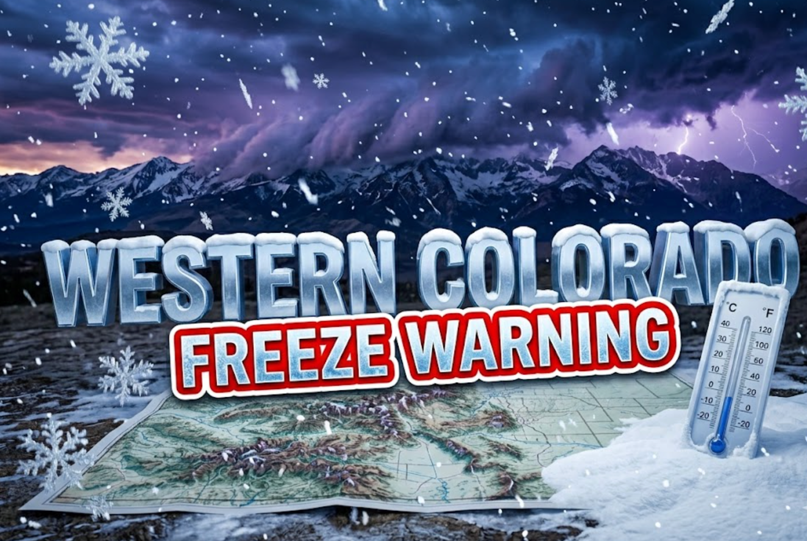
Rain and Mountain Snow Hit Western Colorado Through Tuesday
A spring storm system is dumping rain across Western Colorado valleys and heavy snow in mountain areas tonight through Tuesday afternoon, with forecasters warning of a hard freeze to follow that could damage crops and sensitive vegetation.
The weather event, already tracking eastward from Utah as of Monday evening, brings the first significant precipitation of the week to communities from Grand Junction to Cortez. Mountain passes could see up to 10 inches of snow in isolated areas, while valleys will collect between a quarter and half inch of rain.
Storm Timeline Shows Midnight Peak
Precipitation will intensify as the clock strikes midnight, with valley rain and mountain snow increasing steadily through the overnight hours. The National Weather Service office covering the region reports the morning hours Tuesday could be cold enough for some snow mixing in across the Four Corners area, though accumulation will primarily stay at higher elevations.
The wet weather won’t be continuous. Dry breaks are expected, particularly for valley locations experiencing rain rather than snow. Relief arrives between 2 PM and 6 PM Tuesday as the system begins pulling away from the region.
Any lingering precipitation in lower elevations will wrap up before 10 PM Tuesday. Mountain snow over the High Country will continue slightly longer, ending shortly after midnight.
Mountain Passes Face Travel Challenges
Snow accumulation forecasts paint a varied picture across Western Colorado’s diverse terrain. The Grand Mesa will likely receive 3 to 5 inches, with Glade Park areas seeing just an inch or two. Most San Juan Mountain locations are tracking toward 2 to 5 inches on the higher end.
Wolf Creek Pass in the eastern San Juans could see heavier totals, potentially slowing travel along Highway 160. The Continental Divide passes may collect 5 to 10 inches, though these routes including Independence Pass over Highway 82 remain closed for the season.
The I-70 corridor from Rifle to Evergreen will see lighter amounts, generally an inch or two with locally higher totals of 3 to 5 inches around Vail Pass and the Eisenhower-Johnson Tunnels. Northern areas beyond I-70 are forecast for 1 to 4 inches, with most locations favoring the lower end.
Some computer forecast models initially suggested up to a foot of snow over mountain areas, but meteorologists have adjusted expectations downward to more realistic totals.
Temperature Plunge Triggers Freeze Watch
The bigger story may unfold Wednesday morning when temperatures crash behind the departing storm system. A Freeze Watch takes effect from midnight Tuesday night until 9 AM Wednesday for a broad swath of Western Colorado.
The watch covers Delta and Montrose areas, the I-70 corridor from De Beque Canyon through Silt, the Four Corners region, Lower Dolores Valley, and Paradox Valley. Communities including Nucla, Bedrock, Paradox, Dolores, Dove Creek, and Norwood all fall within the watch area.
Sub-freezing temperatures could drop as low as the low-to-mid 20s in the coldest pockets, posing serious risks to crops and sensitive vegetation. Agricultural interests are being advised to take protective measures for vulnerable plants.
Tuesday Brings Mild Highs Before Cold Snap
Before the freeze arrives, Tuesday will feature relatively mild conditions despite the precipitation. Morning lows will settle near 40 degrees around Grand Junction, 39 degrees for Montrose and Delta, 33 degrees around Cortez, and 43 degrees in Moab.
Afternoon temperatures will climb modestly:
- Grand Junction: 55 degrees
- Montrose: 54 degrees
- Delta: 56 degrees
- Cortez: 55 degrees
- Moab: 55 degrees
Forecasters caution these highs represent maximums, and not all areas may reach these temperatures given persistent cloud cover and precipitation.
Weekend Brings More Severe Cold
The pattern shows little sign of settling down. Another round of rain and mountain snow is expected Thursday night continuing into Friday as a follow-up system moves through the region.
An even more dramatic temperature drop could follow that second storm. Saturday morning lows may plunge into the high teens and low-to-mid 20s, creating conditions cold enough to damage water lines and sprinkler systems in addition to killing vegetation and crops.
This spring storm serves as a reminder that Western Colorado’s mountain climate can shift dramatically even as the calendar moves deeper into May. Residents with gardens, agricultural operations, or exposed plumbing should prepare for multiple nights of freezing temperatures this week. The combination of moisture followed by hard freezes creates particularly challenging conditions for anything growing outdoors or vulnerable to cold damage.
What preparations are you taking for this week’s wild weather swings? Share your thoughts and stay safe as these systems move through.


Halo Campaign Evolved Skulls Meet Death Barriers That Kill the Hunt

Spotify Running Mode Returns After the 2015 Experiment Failed

Amazon AWS Hits Fastest Growth in Years as AI Spend Pays Off

Amazon Bets Platform Beats Models in the AI Race

Apple C2 Modem Edges Into iPhone 18 Pro After Qualcomm Drop

Google Earth Adds Nano Banana 2 to Reimagine Real Places

Apple Upgrade Turns Phones Into Monthly Utility Bills

Asha Sharma Bets Xbox Growth on Console and Four C’s

MacBook Ultra Design Follows Apple’s Familiar Cascade Path

TAG Heuer Carrera x Team Ikuzawa Revives 1970s Roadmaster Stopwatch DNA

Pokémon GO Developer Niantic Rebrands as Scopely Explore

Jaylen Brown Traded to 76ers for Paul George and Four Draft Picks

Persona 4 Revival Hands All Anime Cutscenes to Studio MAPPA

Doom Studio id Software Cuts Half Its Staff in Xbox Layoffs

Nintendo Switch Online Adds Four Classics and One Japan-Only Title

Jordan Henderson Hospitalized After Wrist Injury at the Azteca

Mexico’s World Cup Run Ends at Azteca as England Hold On 3-2

Meta’s Muse Image Lets Anyone Use Your Instagram Photos in AI

Louis Vuitton Beats Molly Tea in China, Triggers Cultural Backlash

Pink Bearista Cup Returns July 13 as Starbucks Pink Vibes Drops
-

 TECHNOLOGY3 years ago
How to Adjust a Bulova Watch Band – An Easy Guide
-

 News3 years ago
Fred Pentland: Athletic Bilbao’s English mentor who changed the essence of Spanish football
-

 FINANCE3 years ago
Tax Planning for Every Season: Guide to Maximizing Your Tax Benefits
-

 Education3 years ago
African Ministers New Education Plan
-

 BUSINESS3 years ago
What is Entrepreneurial Operating System? A Comprehensive Guide to EOS
-

 Education3 years ago
Innovate Your Learning Journey with Technology and Enhance Education
-

 News3 years ago
Russians formally out of World Athletics Championships
-

 BUSINESS3 years ago
Top 9 Most Expensive American Cities to Rent an Apartment