News
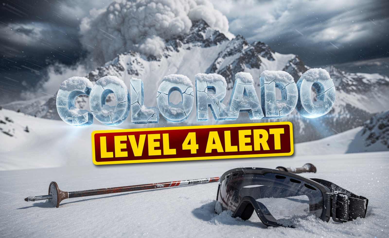
Spring Snow Triggers Level 4 Avalanche Alert in Colorado
A late season blast of heavy spring snow has slammed Colorado’s Front Range, pushing avalanche danger to a rare High level 4 of 5 above treeline. The Colorado Avalanche Information Center is warning backcountry skiers, hikers, and climbers to stay out of slide zones as fresh snow loads dangerously onto old spring surfaces. Officials say the threat will linger for days.
Why The Front Range Is On High Alert Right Now
The Colorado Avalanche Information Center, known as CAIC, says new spring snowfall has created unstable conditions across the northern Front Range, especially near and above tree line.
Forecasters confirmed a level 4 of 5 High avalanche danger, a warning rarely issued in May.
Natural avalanches are likely. Human triggered slides are even easier to set off, and CAIC is urging the public to avoid avalanche terrain completely until the snowpack settles.
The advisory covers a wide stretch of high country running from Rocky Mountain National Park down through Berthoud Pass, Loveland Pass, and Cameron Pass.
How Much Snow Has Fallen And Where
The storm system rolled in early this week and dumped fresh powder across the high country, just as many residents had started to swap snow boots for hiking shoes.
Some peaks have picked up between 1 and 2 feet of snow. Modest winds have piled even more onto leeward slopes, building thick, touchy wind slabs that can fail under the weight of a single skier.
| Zone | Snowfall | Danger Level |
|---|---|---|
| Northern Front Range above treeline | 12 to 24 inches | High (4 of 5) |
| Rocky Mountain National Park | Up to 2 feet | High (4 of 5) |
| Berthoud and Loveland Pass | 8 to 15 inches | Considerable (3 of 5) |
| Cameron Pass | 1 to 2 feet | High (4 of 5) |
CAIC says the danger is expected to stick around for the rest of the week as the snow continues to shift and bond unevenly with the older, sun crusted spring base.
The Hidden Danger Beneath The Fresh Powder
Spring snow is tricky. The surface looks beautiful and inviting, but underneath sits a slick, melt frozen crust from warm April afternoons.
When fresh powder lands on that hard layer, it slides like a sheet of paper on glass. Forecasters call this a poor bond, and it is the main reason this storm is so dangerous.
Wind has made things worse. Slabs forming on east and northeast facing slopes are stiff, deep, and ready to release with very little warning.
“The combination of new snow, wind, and a weak old surface is exactly the recipe that produces big, fast moving avalanches in the spring,” CAIC forecasters noted in their public update.
Safety Tips For Backcountry Travelers This Week
If you are planning to head into the high country, CAIC has clear advice. Officials say this is not the week to push limits or chase fresh tracks above tree line.
- Stick to low angle terrain under 30 degrees and avoid runout zones below steep slopes.
- Check the daily CAIC forecast before every trip, even short ones near trailheads.
- Carry a beacon, shovel, and probe, and travel only with partners who know how to use them.
- Start early in the morning before the sun softens the snowpack and triggers wet slides.
- Watch for natural red flags like recent avalanche debris, cracking snow, or whumpfing sounds.
Local search and rescue teams across Larimer, Boulder, and Grand counties are also reminding hikers that summer trails at higher elevations are still buried, slick, and prone to slab releases.
What Locals And Skiers Are Saying Online
Social media has lit up with photos of fresh white peaks, surprised tulips poking through snow, and skiers debating whether to chase the powder or stay home.
Many longtime backcountry users on X and Facebook are echoing the same message: respect the warning. Several Colorado guide services have already canceled bookings for the week.
Arapahoe Basin and Loveland, two ski areas still spinning lifts, have posted reminders that even inbounds terrain can shift quickly when wind and new snow stack up this fast.
For families planning weekend drives to Estes Park or Grand Lake, transportation officials are also urging caution on mountain passes, where slick roads and reduced visibility have already caused multiple slide offs.
Spring in Colorado has always carried a wild streak, but this week the mountains are reminding everyone who is really in charge. Behind every postcard view of fresh powder lies a quiet, powerful force that does not forgive shortcuts. Stay smart, stay low, and stay alive out there. Have you been caught in surprise spring snow this week, or do you have plans to head into the high country? Share your thoughts and stories in the comments, and spread the word using #ColoradoAvalanche to help keep your friends and family safe.

Apple’s Siri Pace and Expressivity Sliders Land in iOS 27 Beta 3

Neanderthals and Homo Sapiens Shared Culture at a Turkish Cave

Apple’s Foldable iPhone Will Be in Short Supply at Launch, Kuo Says

Nintendo Switch Retires in Europe: What the Battery Law Means for Buyers

HP OmniBook X Flip 14 With Ryzen AI 9 465: Gaming Wins, CPU Losses

Nothing Ear (3a) Leaks in Four Colors a Day Before Launch

The Housing Market Tips Into Balance While Agents Lose Confidence

SK Hynix’s $29B US IPO Lands as the Memory Crunch Hits Mac Buyers

Anker’s 14-Port Prime Dock Holds Its $175 Prime Day Leftover Price

Pokémon GO Developer Niantic Rebrands as Scopely Explore

Destiny 2’s Final Update Pulls Its Biggest Crowd in Two Years

Nintendo Confirms Zelda: Ocarina of Time Remake for Switch 2

Xenoblade Genesis Reveals Director, Composers, Character Designers

Parabilis Sets $670M Biotech IPO Record After Decade of Building

EU Probes $24B Gulf Backing for Paramount’s Warner Bros. Deal

Susman Godfrey Pays Associates $5,000 to $10,000 Above Milbank Scale

Parabilis Sets $670M Biotech IPO Record After Decade of Building

Salesforce Cuts Agentforce Staff a Week After Its $1.2B AI Revenue

Bungie Was ‘Below the Red Line’ Before Sony’s Buyout, Ex-CM Says

Triple-Action Diabetes Jab Hits Phase 3 Targets, Misses a Key Test
-

 TECHNOLOGY3 years ago
How to Adjust a Bulova Watch Band – An Easy Guide
-

 News3 years ago
Fred Pentland: Athletic Bilbao’s English mentor who changed the essence of Spanish football
-

 FINANCE3 years ago
Tax Planning for Every Season: Guide to Maximizing Your Tax Benefits
-

 Education3 years ago
African Ministers New Education Plan
-

 BUSINESS3 years ago
What is Entrepreneurial Operating System? A Comprehensive Guide to EOS
-

 Education3 years ago
Innovate Your Learning Journey with Technology and Enhance Education
-

 BUSINESS3 years ago
Top 9 Most Expensive American Cities to Rent an Apartment
-

 News3 years ago
Russians formally out of World Athletics Championships