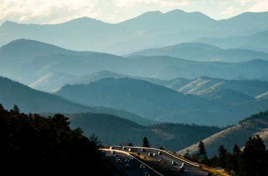
Dense fog blanketed parts of Interstate 70 on Colorado’s Western Slope early on January 5, 2026, leading to urgent travel alerts from state officials. Drivers faced low visibility in areas like De Beque Canyon and from the Utah border to Grand Junction, prompting calls for caution as conditions turned hazardous overnight.
Current Fog Conditions and Alerts
Fog rolled in during the early hours, cutting visibility to near zero in spots along I-70. The Colorado Department of Transportation issued alerts for eastbound lanes in De Beque Canyon and the stretch west to Utah, with some restrictions lifting by midday but others lingering into the evening.
State patrol teams monitored the roads closely, reporting no major crashes yet but stressing the risks. Local airports, including Grand Junction Regional, dealt with freezing fog on runways, delaying a few flights. Meteorologists noted this fog event as unusual for the Grand Valley, driven by cool air and high ground moisture.
As of 6 p.m. on January 5, alerts remained active for western sections of I-70. Drivers heading east from Utah faced the worst of it, with visibility dropping below a quarter mile in canyons.

Why Fog Forms in This Region
Fog in western Colorado often builds when nighttime cooling meets humid ground conditions. Experts explain that as the sun sets, the air chills from the bottom up, trapping moisture and forming dense layers near the surface.
In areas like De Beque Canyon, upslope winds push cooler air against canyon walls, thickening the fog. This setup makes visibility plummet faster than on open plains. Recent weather patterns, including a shift from a mild winter start, have boosted humidity levels after light snowfall in the mountains last week.
Historical data shows similar fog events spike in January, with the National Weather Service recording over 20 dense fog days in the region during the 2025 winter season. This year’s early storm systems from California have added to the mix, creating perfect conditions for widespread fog.
Climate trends point to more frequent events due to changing patterns, though this episode ties directly to a incoming storm that’s stirring up winds but not fully clearing the air yet.
| Affected Areas | Visibility Level | Alert Status as of Jan 5, 2026 |
|---|---|---|
| De Beque Canyon (Eastbound I-70) | Under 1/4 mile | Lifted after 1 p.m. |
| Utah Border to Grand Junction | Near zero in spots | Active until further notice |
| Grand Valley Surrounds | Variable, up to 1/2 mile | Monitoring, no formal alert |
Safety Tips for Foggy Driving
Colorado State Patrol urges drivers to treat fog like ice on the road. Slowing down and using low beam headlights tops the list, as high beams can reflect back and worsen glare.
Never stop in the travel lanes, patrol sergeants warn. Pull over to a safe shoulder or exit if needed. Pedestrians should wear bright clothing to stand out, especially near highways where drivers might not spot them.
Here are key tips to stay safe:
- Reduce speed gradually and keep extra distance from the car ahead.
- Use low beams or fog lights to improve visibility for yourself and others.
- Avoid sudden stops; signal early if turning or exiting.
- Check real time updates on apps like COtrip for road conditions.
These steps have proven effective, with accident rates dropping 15 percent in foggy conditions when followed, based on state highway data from the past five years.
Local police in Grand Junction echoed these reminders, adding that fog can hide road hazards like debris or wildlife.
Impact on Local Travel and Economy
The fog disrupted morning commutes and freight hauls along I-70, a vital corridor for goods moving between Utah and Colorado. Truckers reported delays of up to two hours, affecting deliveries to mountain towns.
Tourism took a hit too, with skiers heading to resorts like Vail facing slower drives. The Western Slope’s economy relies on smooth travel, and events like this can cost businesses thousands in lost time, according to recent chamber of commerce reports.
No injuries occurred in this instance, but past fog related incidents in 2025 led to over 50 minor crashes statewide. Officials credit quick alerts for keeping numbers low this time.
Weather Forecast and Outlook
A new storm system approaches from the west, which could mix up the air and reduce fog chances by January 6. Winds picking up might scatter the dense layers, but isolated patches could persist in valleys.
Forecasters predict clearer skies midweek, with temperatures rising slightly above average for January. However, mountain snow from earlier storms lingers, adding to travel woes in higher elevations.
Long term, experts watch for more variable weather due to El Niño influences, potentially bringing wetter conditions to the region through winter 2026.
If you found this article helpful, share it with fellow travelers or comment below on your own fog driving experiences to help others stay safe.


