A chilly, rainy start to the week in Western Colorado will give way to rising heat, dry skies, and a growing wildfire threat, forecasters warn.
The brief relief brought by Sunday’s rainstorm has already faded in Grand Junction. Monday started cool and damp, but it’s the last we’ll see of that moisture for a while. A sharp shift is on the way—temperatures are jumping, and the skies will stay bone dry. Local meteorologists say the region is poised to leap from 5 to 10 degrees below average to 5 to 10 degrees above by the end of the week.
Cold Front Out, High Pressure In
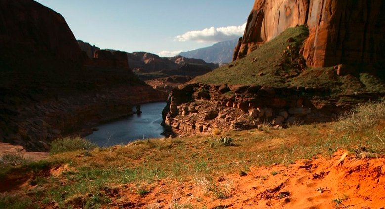
The weekend storm didn’t overstay its welcome. A passing cold front dragged in rain and cooler temperatures, but it’s now been pushed aside by a rising high-pressure system. As that cold front exits, Grand Junction is left with a stark reminder of how dry the region has been for months.
Only 0.32 inches of rain fell in the city overnight—enough to dampen the ground, but far from enough to fix anything. Since January, Grand Junction has picked up just 1.35 inches of precipitation.
That’s barely over a third of what’s typical.
This year-to-date total should be closer to 3.49 inches. The gap isn’t just a minor difference—it’s a warning sign. And with the high-pressure system settling in, no rain is expected anytime soon.
Wind Picks Up as Temperatures Swing
Before the heat fully arrives, there’s wind. Plenty of it.
Late Monday afternoon, gusts started to build. Forecasts call for wind speeds reaching up to 35 miles per hour across much of the Grand Valley. They’re strong enough to make you shiver, even as the mercury starts climbing again.
A quick jacket on the way out the door isn’t a bad idea.
The gusts are tied to the atmospheric transition from low to high pressure. When systems shift like this, the atmosphere doesn’t settle quietly—it pushes, pulls, and stirs the air. For now, it’s just breezy. But by midweek, the real shift kicks in.
Temperatures Set to Soar
Western Colorado will feel a 10-degree bump in daytime highs on Tuesday.
That kind of change in just 24 hours? It’s not unusual in the high desert—but it’s still a shock to the system. And for ranchers, hikers, or anyone spending serious time outdoors, it can be the difference between comfortable and dehydrated.
• Monday highs sat around 5–10°F below average
• By Thursday, highs are expected to land 5–10°F above average
• Wind chills Monday afternoon will contrast sharply with dry heat midweek
The dry air and soaring temps will bake the already-parched soil, sucking up any remaining moisture from Sunday’s rain. Even the few puddles left behind will be gone before lunchtime Tuesday.
Drought Data Paints a Stark Picture
The moisture shortfall isn’t just about lawns turning brown earlier than usual. It’s fueling dangerous drought conditions.
Here’s how it stacks up:
| Metric | Value | Normal Value | Status |
|---|---|---|---|
| Rainfall (Year-to-date) | 1.35 in | 3.49 in | 61% below average |
| Weekend Rainfall | 0.32 in | — | Temporary relief |
| Drought Classification | Extreme | — | Escalating |
| Fire Risk | High | Normal-to-Moderate | Elevated |
Wildfire season isn’t just creeping in—it’s galloping.
The National Interagency Fire Center has already flagged much of western Colorado as being at elevated fire risk, and that’s before the June heat ramps up. Dry fuels, high winds, and no rain in sight? It’s a recipe for fast-moving blazes.
No Relief on the Radar
The week ahead doesn’t offer much optimism.
Meteorologists say there’s no precipitation expected in the next several days. The shift to a high-pressure ridge means clear skies and stable conditions—but stable doesn’t mean safe.
One-sentence paragraph? Here it is.
Dry spells like this can linger.
While the recent rain brought a sigh of relief to some—especially farmers and firefighters—it’s quickly turning into a blip on the radar. And for residents already under water restrictions or watching brush dry up along their fence lines, it feels like déjà vu from previous drought years.
Wildfire Season Starts Early
Conditions like this aren’t just early—they’re dangerous.
Grand Junction officials have already issued warnings about increased wildfire risk, and there are murmurs that burn bans could arrive sooner than normal. The mountains might still hold some snow, but the valleys are dry, and even higher elevations are shedding moisture fast.
One rancher near Fruita said Monday morning, “It’s like we got teased with that rain. Now we’re bracing for what’s next.”
And that “next” might be weeks of unbroken sun.