Grand Junction residents face a shift from warm days to cooler weather with rain and possible snow arriving late this week. The National Weather Service forecasts valley rain turning to wet snow Friday night through Saturday morning in western Colorado.
Rain and Snow on the Horizon
Forecasters predict the first snow of the season for lower valleys could start Friday night. This comes after a week of above normal temperatures that have kept things mild so far this November.
Early signs point to a few rain showers and mountain snow as soon as Thursday evening. By Friday, expect more widespread valley rain with snow in higher areas. The mix could lead to slushy conditions overnight into Saturday.
Local experts note this storm system builds from a wave of clouds moving south from Alaska through the Pacific. It will not hit until later in the week but promises a noticeable change.
Expected Snowfall Details
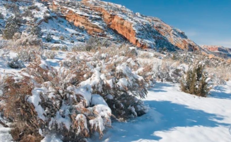
Snow amounts in the valleys around Grand Junction stay light with no more than an inch of slush that mostly melts on contact. Areas like Delta, Montrose, and Cortez see similar minor impacts.
Higher elevations tell a different story with more buildup possible.
- Grand Mesa and Elk Mountains: Up to 5 to 10 inches, with some spots reaching a foot.
- San Juans: Common accumulations of 6 to 12 inches.
- Central and northern mountains: 5 to 10 inches, varying locally.
- East of the Continental Divide: Generally 1 to 4 inches through Sunday night.
This forecast helps skiers and drivers plan ahead. Recent events in nearby regions show how quickly mountain passes can close with even moderate snow.
| Location | Expected Valley Snow | Mountain Snow Range |
|---|---|---|
| Grand Junction | Up to 1 inch (slushy) | N/A |
| Grand Mesa | Minimal | 5-10 inches |
| San Juans | Trace | 6-12 inches |
| Elk Mountains | Trace | Up to 12 inches |
The Storm System Setup
A low pressure system and cold front spread clouds over the Pacific Northwest tonight. Some of those clouds reach Grand Junction by Monday but bring no rain or snow.
The main action ramps up mid week. Sunny periods mix with increasing clouds from late morning through early afternoon on Monday. Overall, the day stays mostly sunny.
This pattern echoes last years early November storm that brought surprise snow to the region and disrupted travel. Experts urge checking updates as forecasts evolve.
Short Term Outlook
Tonight clears up with temperatures dropping from upper 40s and lower 50s at 6 PM to low to mid 40s by 8 PM. By 10 PM, expect mid to upper 30s.
Overnight lows hit near 34 degrees in Grand Junction, 31 in Montrose and Delta, 25 in Cortez, and 33 in Moab. Monday warms to upper 50s and lower 60s by afternoon with highs around 62 in Grand Junction.
Saturday looks salvageable after morning snow clears, though mountains hold onto snow through Sunday. Residents should prepare for wet roads and possible delays.
Travelers recall a similar event two years ago when light snow caused minor accidents on I 70. Staying informed helps avoid issues.
Preparation Tips for Locals
Bundle up for the chill as highs drop below normal over the weekend. Clear gutters to handle rain runoff and check vehicle tires for snow.
Farmers in the area watch closely since early snow affects late harvests. Schools may adjust schedules if roads get slick.
This weather shift reminds us of Colorados variable climate. Last month saw record warmth but now winter knocks early.
Share your weather prep tips in the comments below and spread the word to help others stay safe this weekend.