Grand Junction, Colo. – After a roller-coaster fall that brought early snow and hard freezes, Western Colorado is about to enjoy something we rarely see in late October: a full week of mild days, light jackets, and almost no measurable rain in the valleys.
Temperatures will run 10 to 15 degrees above normal through the weekend, giving residents one last taste of shirt-sleeve weather before real winter arrives.
Tuesday Starts Warm and Quiet
Tuesday will feel more like early October than late October.
Highs climb into the mid-to-upper 50s around Grand Junction and Montrose, low 60s in Delta, and upper 50s in Cortez and Moab. Morning lows stay in the mid-to-upper 20s, so frost is still possible in sheltered spots, but most valleys will wake up dry.
Skies stay partly cloudy with just a few high clouds drifting overhead. No rain is expected Tuesday anywhere on the Western Slope.
Mountains Pick Up Light Snow Mid-Week
The only real weather maker this week slides in Tuesday night and lingers through Thursday morning.
National Weather Service models show 4-8 inches of snow possible above 9,000 feet, with 2-5 inches down to 7,500 feet along the San Juans and Park Range. Telluride, Silverton, and Wolf Creek could see the highest totals.
Valleys stay mostly dry. Grand Junction, Montrose, Delta, and Durango have only a 10-20% chance of seeing more than a couple of rain drops Wednesday night into early Thursday.
This is classic “mountain maker, valley breaker” pattern – snow stays locked in the high country while lower elevations get nothing but clouds and a slight cool-down.
Strong Winds East of the Divide
Travelers heading to Denver need to watch out.
A tight pressure gradient will drive west winds of 30-50 mph with gusts to 70 mph along and east of the Continental Divide tonight through Wednesday evening. Eisenhower Tunnel, Rabbit Ears Pass, and Berthoud Pass will be the windiest spots.
Local wind in the Grand Valley stays light – gusts only 15-25 mph at worst Wednesday afternoon.
Extended Forecast Looks Even Better
After the weak system clears Thursday morning, high pressure builds in strong.
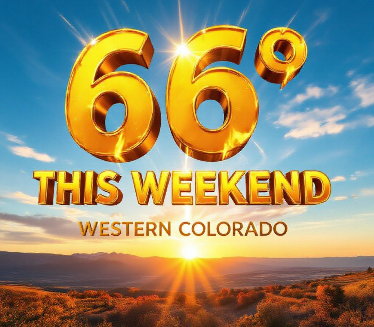
Friday through Monday now looks completely dry with daytime highs pushing back into the low-to-mid 60s in the lower valleys. Grand Junction could hit 65-67 degrees this weekend – only about five degrees shy of the record high for late October.
Overnight lows will drop into the upper 20s and low 30s by next week, but widespread hard freezes still appear unlikely until at least the first week of November.
Here’s the seven-day outlook for Grand Junction:
- Tuesday: Partly cloudy, high 56, low 29
- Wednesday: Mostly cloudy, slight chance of a shower, high 54, low 32
- Thursday: Early clouds, then clearing, high 58, low 28
- Friday: Sunny, high 63, low 30
- Saturday: Sunny, high 65, low 32
- Sunday: Sunny, high 66, low 33
- Monday: Sunny, high 64, low 31
Why This Matters Right Now
Fruit growers in Palisade and Delta are breathing easier. Many peach and apple orchards still have late-season harvests underway, and temperatures staying above freezing this week means no rush to pick before a killer frost.
Roofers, painters, and construction crews are slamming overtime while they can. Anyone who has lived here long enough knows these warm, dry stretches in late October are pure gold – they don’t come around every year.
Ski areas will pick up a modest refresh at the very top, but nothing that opens terrain yet. Wolf Creek remains the only Colorado resort open as of Monday.
Enjoy it while it lasts. Long-range models still show a pattern flip toward colder and wetter conditions by the second week of November.
This kind of gift week in late October doesn’t happen often on the Western Slope. Get outside, wash the car, take the dog for a long hike, or just sit on the porch with coffee. Winter is coming – but not this week.
What are you doing with this bonus warm weather? Drop your plans in the comments below.