News
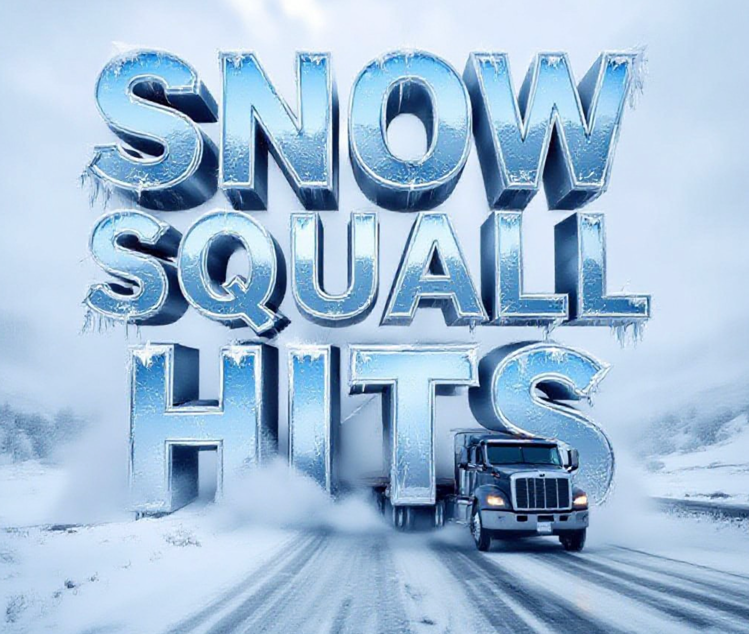
Grand Valley Blindsided by Vicious Snow Squall
Grand Junction, Colorado – A ferocious snow squall tore through the Grand Valley on Tuesday afternoon, February 18, 2026, turning clear skies into a total whiteout in minutes and triggering a rare wireless emergency alert across the region.
What Hit Us and How Bad Was It
At approximately 2:05 p.m., the National Weather Service issued an urgent Snow Squall Warning as a narrow cold front slammed into western Colorado. Within moments, visibility on I-70, Highway 50, and surface streets dropped to near zero.
“It was like someone flipped a switch,” said Grand Junction resident Maria Sanchez, who was driving home from work. “One second I could see the Book Cliffs clear as day, the next second I couldn’t even see my own hood.”
The squall lasted roughly 35 to 45 minutes but packed winds gusting over 45 mph and dumped up to two inches of snow in the hardest-hit areas. Colorado State Patrol reported at least eight weather-related crashes, including a jack-knifed semi on the Loma overpass.
The Grand Valley had not seen a snow squall this intense since March 2022.
The Science Behind These Stealth Storms
Chief Meteorologist Stephen Bowers at KJCT has been tracking these events for over a decade.
“People think of big winter storms that last all day,” Bowers told us. “Snow squalls are completely different. They ride along razor-thin cold fronts that can be 1,000 miles long but only 10 to 20 miles wide.”
These fronts act like a snow plow blade, shoving cold air underneath warmer air and creating instant instability. The result? Explosive snow growth and powerful wind gusts that turn powder into a wall of white.
Bowers pointed out that the Grand Valley’s unique topography makes us especially vulnerable.
“We sit in this bowl surrounded by higher terrain,” he explained. “When that cold air gets funneled down the Colorado River corridor, it accelerates. Add the right amount of moisture, and boom, you have the perfect recipe.”
The February 18 event formed just west of the Utah border and raced east at nearly 50 mph, catching many drivers completely off guard.
Why the Emergency Alert Went to Every Phone
This was only the third time since 2018 that the National Weather Service has pushed a Wireless Emergency Alert for a snow squall in western Colorado.
NWS Meteorologist John Smith in Grand Junction confirmed the decision.
“When we see radar returns showing heavy snow and winds that will create instant whiteout conditions, we don’t hesitate,” Smith said. “These events kill people. The alert literally saves lives.”
Across the country, snow squalls have caused several deadly pile-ups in recent years, most notably the 50+ vehicle crash on I-81 in Pennsylvania in 2022 and the 80-vehicle pile-up on I-80 in Iowa last winter.
Driver Tips That Actually Work
Every expert we spoke to gave the same core advice when a snow squall hits.
Slow down immediately.
Turn on low-beam headlights (high beams reflect off the snow and make it worse).
Increase following distance to at least 10 seconds.
Never slam on brakes on icy roads.
If you can’t see, pull off the highway completely and wait it out.
Stephen Bowers added one more tip many locals forget.
“Treat it like fog,” he said. “Because that’s exactly what it is, heavy snow fog that can appear out of nowhere.”
Will We See Another One Soon?
The short answer is probably not in the Grand Valley.
Futurecast models show the next similar cold fronts sliding south of the region, targeting the Four Corners and San Juan Mountains later this week. Areas like Nucla, Cortez, and Durango could see squalls Thursday night into Friday.
For Grand Junction and surrounding communities, the forecast shifts to more typical light snow chances next week with no signs of another intense narrow front.
Still, meteorologists stress these events have become more common in recent years.
Climate data shows the western U.S. is experiencing sharper temperature contrasts during winter months, exactly the kind of setup that breeds snow squalls.
The February 18 event caught many by surprise, but it also proved our warning system works. Phones buzzed, drivers slowed down, and while there were crashes and close calls, no one lost their life.
That is the best possible outcome when Mother Nature decides to remind us, in the span of just a few terrifying minutes, exactly who is in charge.
Have you ever been caught in a snow squall? Share your story in the comments below. Let’s keep each other safe out there.

Asian Stocks Split as Nikkei, KOSPI Hit Records on US-Iran Deal

JBL Live 780NC and 680NC Headphones Launched in India at INR 15,999

Toms Capital Takes Top-Five Devon Energy Stake, Pushes for a Sale

California Says AT&T Lied to FCC About Copper Landlines

Anduril Beats Boeing and Lockheed for CCA Drone Production Contract

Fast Food’s ’90s Nostalgia Push Hits Menus This Summer

JPMorgan Cuts Anthropic Access in Hong Kong, Citing Licensing Terms

Fed Holds Rates as Dot Plot Flags Possible 2026 Hike; Kospi Crosses 9,000

Iran Deal Sends Brent Below $80, But Inventories Tell a Different Story

Amazon Prime Day 2026 Returns to June With 50 Early Deals

New York, New Jersey Subpoena FIFA Over World Cup Ticket Pricing

Lamar Jackson Calls Ravens Coaching Change a ‘Breath of Fresh Air’

Naomi Osaka’s Eiffel Tower Dress Hands Kevin Germanier a Roland Garros Runway

Gilgeous-Alexander’s Board Game Cease-and-Desist May Backfire

Hurricanes Shut Out Canadiens 4-0, One Win From Stanley Cup Final

Barcelona Chase Álvarez After Gordon as Salary Cap Looms

Messi to Captain Argentina as Scaloni Bets on Old Guard

French Open Line Call Furor Overshadows Fonseca Upset of Ruud

Pulisic Ends Drought but US Defending Clouds 3-2 Senegal Win

Modern Warfare 4 Lands on Switch 2 October 23, Ending Nintendo’s 13-Year Wait
-

 TECHNOLOGY3 years ago
How to Adjust a Bulova Watch Band – An Easy Guide
-

 News3 years ago
Fred Pentland: Athletic Bilbao’s English mentor who changed the essence of Spanish football
-

 FINANCE3 years ago
Tax Planning for Every Season: Guide to Maximizing Your Tax Benefits
-

 Education3 years ago
African Ministers New Education Plan
-

 BUSINESS3 years ago
What is Entrepreneurial Operating System? A Comprehensive Guide to EOS
-

 Education3 years ago
Innovate Your Learning Journey with Technology and Enhance Education
-

 News3 years ago
Russians formally out of World Athletics Championships
-

 BUSINESS3 years ago
Top 9 Most Expensive American Cities to Rent an Apartment