News
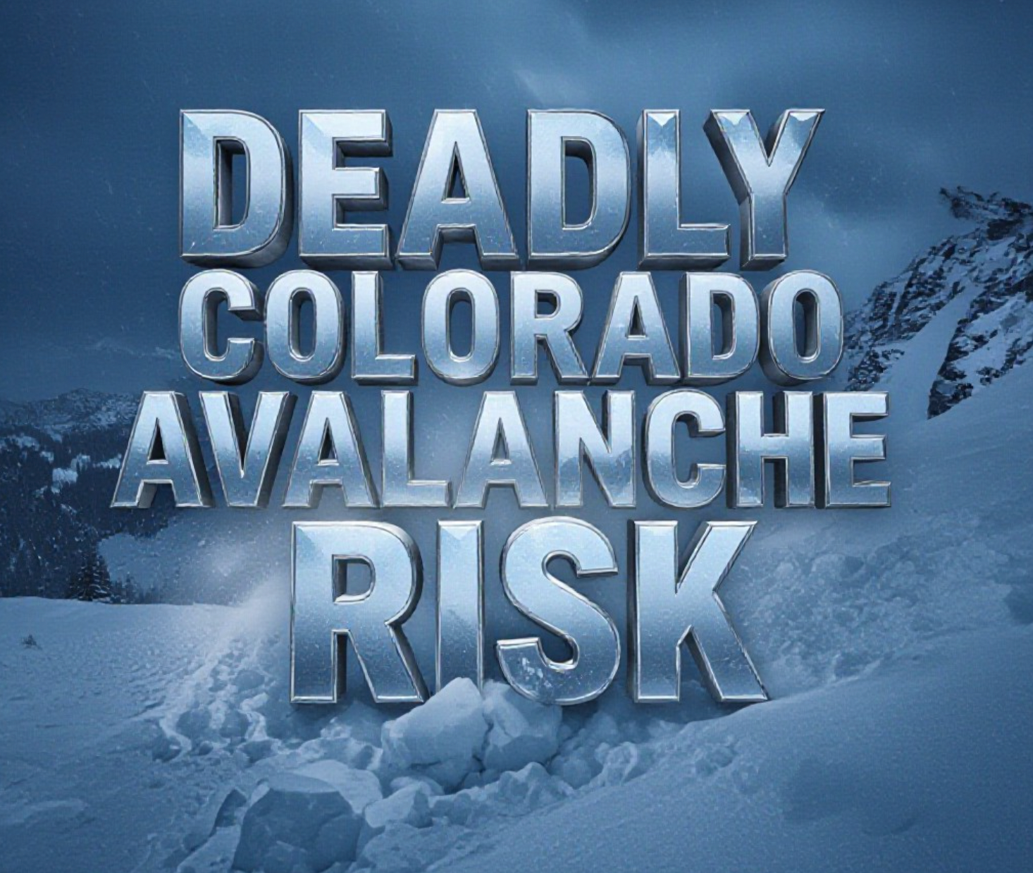
Colorado Avalanche Danger Stays High This Weekend
Backcountry skiers, snowboarders, and snowmobilers face serious risk across Colorado’s high country this weekend as the Colorado Avalanche Information Center maintains a “considerable” (level 3 out of 5) danger rating in most mountain zones after the latest storm cycle.
Another Deadly Week in the West
The past seven days have been brutal. California saw two skier deaths near Lake Tahoe on Wednesday. Utah reported a snowmobiler killed near Salt Lake City on Monday. Colorado has stayed fatality-free since the December 28 incident near Crested Butte that claimed one life, but forecasters stress the snowpack remains highly unstable.
“We’re in that dangerous window right now,” said Ethan Greene, director of the Colorado Avalanche Information Center, on Thursday afternoon. “Seventy percent of the time, when we lose someone to an avalanche, another person dies within four days. That’s where we are.”
The numbers back him up. Since December 20, the West has recorded at least six avalanche deaths, matching the deadliest stretches of recent seasons.
Why “Considerable” Still Means Deadly
Level 3 danger misleads a lot of people. They hear the rating dropped from “high” and think it’s safe to charge. History says otherwise.
In Colorado, nearly 80 percent of all avalanche deaths happen on considerable or moderate days, not on high or extreme. The reason is simple: more people go out when the rating isn’t red.
Human-triggered slides are the biggest threat right now. Persistent weak layers buried in November sit under heavier storm slabs from the past two weeks. Those weak layers are widespread from the northern San Juans to the northern Front Range.
Recent field observations tell the story:
- Snowpit tests near Loveland Pass on Wednesday showed easy propagation on the November facet layer
- Remote weather stations recorded 2 to 4 feet of new snow since Christmas
- Multiple natural avalanches ran during the storm, some stepping down to deeper weak layers
- Guides in the Elk Mountains reported collapsing and shooting cracks on northeast aspects above 10,000 feet
Warning Signs You Can’t Ignore
Mike Cooperstein, CAIC’s Northern Mountains forecaster, gave the clearest advice you’ll hear all season.
“If you’re seeing cracking or collapsing, turn around,” he said Thursday. “Those are red flags that don’t lie. The slab is ready to break and the weak layer is ready to propagate.”
Specific signs backcountry travelers reported this week:
- Whumpfing sounds and collapsing snow under skis or snowmachines
- Shooting cracks running 20 to 50 feet from tracks
- Recent avalanche activity on similar slopes
- Hollow, drum-like snow that sounds like you’re riding on a tabletop
The safest bet this weekend? Stay on slopes under 30 degrees and avoid being under steep terrain.
Where the Risk Is Worst
The most dangerous zones heading into Saturday and Sunday:
- Aspen zone: Considerable at all elevations, persistent slab problems
- Vail and Summit County: Considerable above treeline, near treeline
- Sawatch Range: Considerable everywhere, multiple persistent weak layers
- Northern San Juan: Considerable, wind slabs adding to the danger
- Front Range: Moderate to considerable, but still reactive on specific aspects
The Steamboat and Flat Tops areas dropped to moderate on Thursday, giving northwest Colorado the lowest danger in the state.
Forecasters expect the danger to slowly decrease early next week as the snowpack adjusts, but another storm arrives Tuesday night into Wednesday that could push ratings back up.
One backcountry skier who triggered a slide near Berthoud Pass on Wednesday summed it up after self-rescuing: “I knew better, but the snow looked perfect. It wasn’t. Don’t be me.”
The mountains will still be there next weekend. Make smart choices this one.
What are you seeing out there this weekend? Share your observations in the comments below, and stay safe.


Stock Futures Wobble as Trump’s Hormuz Blockade Meets Earnings Season

Chipotle Enters Mexico, the Market That Sank Taco Bell Twice

Samsung’s Galaxy Watch 9 and Watch Ultra 2 Bet on a Borrowed Chip

Pentagon Suspends CMMC Phase 2, Relieving Small Firms, Straining Assessors

PS5 Adds a Weekly Wrap-Up Widget While Recently Played Stays Broken

A Brazilian Gamer Sued Microsoft Over a Hacked Xbox Account, and Won

Volkswagen’s CEO Confirms 100,000 Jobs Are on the Table

Assassin’s Creed Black Flag Resynced Splits Handhelds by Price

Lorde Calls Smart Glasses ‘Not Sexy’ Right on Ray-Ban’s Own Stage

Nintendo Eyes a Switch 2 OLED Model as the Memory Crisis Bites

Halo Studios Reverses PS Plus for Halo: Campaign Evolved on PS5

Black Ops 1 and 2 PS5 Ports: $40 Price Tag Has Fans Uneasy

Matt Brown Dismisses Rousey and Paul’s MVP MMA Ratings Win Over UFC

Star Wars: Galactic Racer Is a Roguelite Racer With a Podracing Skin

Julius Randle Traded to Nets as Wolves Reclaim Cap Space for Dosunmu

Sega’s $49.99 Sonic Classic and Modern Bundles Hit Switch in October

Colombia Edge DR Congo as Muñoz Books World Cup Knockout Place

Warriors Take Yaxel Lendeborg, the Oldest Pick in the 2026 NBA Draft

Douze Dixièmes Closes Five Months After MIO: Memories in Orbit

Meta’s Muse Image Lets Anyone Use Your Instagram Photos in AI
-

 TECHNOLOGY3 years ago
How to Adjust a Bulova Watch Band – An Easy Guide
-

 News3 years ago
Fred Pentland: Athletic Bilbao’s English mentor who changed the essence of Spanish football
-

 FINANCE3 years ago
Tax Planning for Every Season: Guide to Maximizing Your Tax Benefits
-

 Education3 years ago
African Ministers New Education Plan
-

 BUSINESS3 years ago
What is Entrepreneurial Operating System? A Comprehensive Guide to EOS
-

 Education3 years ago
Innovate Your Learning Journey with Technology and Enhance Education
-

 News3 years ago
Russians formally out of World Athletics Championships
-

 BUSINESS3 years ago
Top 9 Most Expensive American Cities to Rent an Apartment