News
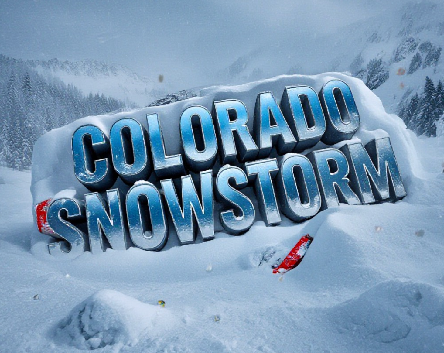
Colorado Snowstorm Hits Friday: Mountains and Valleys Buried
Western Colorado wakes up to a First Alert Weather Day as a powerful winter storm barrels in, bringing heavy snow to both the high peaks and the valleys below. Grand Junction, Montrose, Delta, and even lower areas will see accumulating snow by Friday morning, while the mountains could get buried under a foot or more.
The National Weather Service has already issued Winter Weather Advisories across nearly all of Western Colorado’s high country, and the Colorado Avalanche Information Center has triggered a rare Avalanche Warning through 5 PM Friday. Travel will turn treacherous, roads will close, and backcountry travelers face life-threatening slide danger.
Snow Starts Tonight, Peaks Friday Morning
The storm charges in fast. Snow begins ramping up between 9 PM and midnight Thursday from southwest to northeast. By dawn Friday, most of Western Colorado sits under steady snow.
The heaviest bands slam the area before noon. Snow tapers to scattered showers by early afternoon, but bursts linger into the evening across the central mountains. The system finally clears out before sunrise Saturday.
Road crews are pre-treating passes tonight. Expect rapid buildup on I-70 over Vail Pass, Highway 50 over Monarch, and all mountain routes south of I-70.
How Much Snow Falls Where
Here are the latest expected totals through Friday night (on top of what has already fallen this week):
- San Juan Mountains: 8-15 inches common, isolated 18 inches
- Grand Mesa, West Elk Mountains, Uncompahgre Plateau: 6-12 inches
- Grand Junction, Delta, Montrose valleys: 1-4 inches (locally 5 inches possible)
- Glade Park & Colorado National Monument: 3-7 inches
- Telluride, Ouray, Silverton areas: 10-18 inches
- Areas along and north of I-70 (including Flat Tops, Park Range): 4-9 inches
- High valleys near Crested Butte, Gunnison: 4-8 inches
Wind gusts up to 45 mph will create near-zero visibility in the high country and massive drifts on open passes.
Avalanche Danger Spikes to Level 4
The Colorado Avalanche Information Center rates the danger HIGH (level 4 out of 5) for most zones south of I-70 and CONSIDERABLE to HIGH north of I-70.
Large and deadly avalanches are likely on slopes steeper than 30 degrees, especially north and east-facing aspects that received heavy wind-loading this week.
Backcountry travelers should avoid all avalanche terrain Friday. Several zones already saw natural slides Thursday afternoon. More are expected as the weight piles on overnight.
Friday Temperatures Stay Bitter Cold
Highs struggle to reach the mid-30s in the valleys even where snow lightens up:
- Grand Junction: 39°F
- Montrose: 34°F
- Delta: 39°F
- Cortez: 35°F
- Moab: 38°F
Morning lows dip into the teens and 20s. Wind chill makes it feel like the teens across the Western Slope.
Travel and School Impacts Already Rolling In
CDOT crews will work around the clock, but many passes could close temporarily Friday morning. Check COtrip.org before you leave.
Several school districts south of Grand Junction, including Montrose, Delta, and Telluride, have already announced delayed starts or closures for Friday. More announcements expected by 5 AM.
This storm ends a dry stretch and gives the snowpack a much-needed boost before the holiday rush. Ski resorts from Wolf Creek to Powderhorn are celebrating the fresh powder, while everyone else just tries to stay warm and safe.
Stay with us for live updates through the storm. If you’re digging out Friday, drop your snowfall totals and photos in the comments below. And if you’re sharing on social media, use #COSnowStorm so we can see how it looks across the Western Slope.


A Stalled Volkswagen EV Triggered a Deadly Loop 202 Pileup

ChatGPT, Gemini and Claude Traded Praise as Billions Ride on It

New Jersey Bans Surveillance Pricing After a Union Push

SpaceX Stock Sits Just $15 From a Zero Value AI Verdict

ChatGPT Health Data Skips HIPAA as Telehealth Stocks Slide

Apple Wagers Years of Delay on Smart Glasses Privacy

FDA Recall Pulls Nearly 19 Million Eggs Over Salmonella

Ubisoft’s New Far Cry Game Rides on Tencent’s Billions

PlayStation Blackout Protest Could Hit the Wrong Targets

Taylor Farms Gave Trump Allies $2 Million Before Its Recall Call

Pokémon GO Developer Niantic Rebrands as Scopely Explore

Persona 4 Revival Hands All Anime Cutscenes to Studio MAPPA

Jaylen Brown Traded to 76ers for Paul George and Four Draft Picks

Doom Studio id Software Cuts Half Its Staff in Xbox Layoffs

Nintendo Switch Online Adds Four Classics and One Japan-Only Title

Jordan Henderson Hospitalized After Wrist Injury at the Azteca

Mexico’s World Cup Run Ends at Azteca as England Hold On 3-2

Meta’s Muse Image Lets Anyone Use Your Instagram Photos in AI

Louis Vuitton Beats Molly Tea in China, Triggers Cultural Backlash

Pink Bearista Cup Returns July 13 as Starbucks Pink Vibes Drops
-

 TECHNOLOGY3 years ago
How to Adjust a Bulova Watch Band – An Easy Guide
-

 News3 years ago
Fred Pentland: Athletic Bilbao’s English mentor who changed the essence of Spanish football
-

 FINANCE3 years ago
Tax Planning for Every Season: Guide to Maximizing Your Tax Benefits
-

 Education3 years ago
African Ministers New Education Plan
-

 BUSINESS3 years ago
What is Entrepreneurial Operating System? A Comprehensive Guide to EOS
-

 Education3 years ago
Innovate Your Learning Journey with Technology and Enhance Education
-

 News3 years ago
Russians formally out of World Athletics Championships
-

 BUSINESS3 years ago
Top 9 Most Expensive American Cities to Rent an Apartment