News
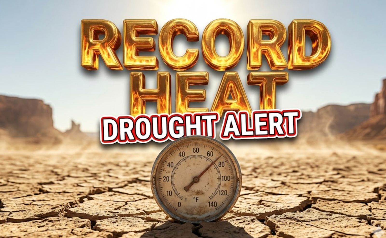
Grand Junction Smashes Heat Records as Drought Deepens
Western Colorado is sweltering under an unprecedented March heat wave that has rewritten the history books for eight consecutive days. Grand Junction shattered yet another temperature record Thursday as the mercury climbed to a staggering 84 degrees. While forecasters predict a slight dip today, the reprieve will be brief. This relentless warmth is fueling a rapidly expanding drought crisis that now threatens the entire region.
Relentless Heat Rewrites History
Grand Junction is officially in uncharted territory. The city broke heat records for both the daily high and the daily low temperature on Thursday for the second day in a row. The official reading at Grand Junction Regional Airport topped out at 84 degrees. This crushed the previous record of 79 degrees which was set back in 1971. It is rare to beat a standing record by five full degrees.
The heat did not stop when the sun went down. The overnight low temperature only dropped to 55 degrees. This beat the previous warmest low record of 54 degrees set in 1940. Meteorologists track warm overnight lows closely because they prevent vegetation and snowpack from recovering. This marks the eighth straight day of record-breaking heat for the Grand Valley.
Residents are feeling the impact of this unseasonal weather pattern. March is typically a time for light jackets and variable spring showers. Instead, locals are breaking out air conditioners and summer wardrobes weeks ahead of schedule.3 The consistent high pressure ridge parked over the Southwest United States is acting like a lid. It traps warm air and blocks cooling storms from entering the region.
Weekend Outlook Threatens More Records
Friday offers a very small break from the extreme heat. The expected high of 77 degrees will likely fall just short of the standing record of 80 degrees. However, this pause is temporary. The heat dome will reassert itself over the weekend. Saturday is forecast to hit 80 degrees which would break the current record of 77. Sunday looks even hotter with a forecast of 81 degrees. That would topple the existing record of 79 degrees.
The start of next week brings uncertainty but continued warmth. Monday will see highs hovering near the record of 80 degrees. Meteorologists say the record is definitely in jeopardy depending on cloud cover and wind timing.
Forecast vs. Record Highs
| Day | Forecast High | Record High | Status |
|---|---|---|---|
| Friday | 77°F | 80°F | Near Record |
| Saturday | 80°F | 77°F | Record Break Likely |
| Sunday | 81°F | 79°F | Record Break Likely |
| Monday | 80°F | 80°F | Potential Tie/Break |
Forecasters advise residents to stay hydrated. Heat exhaustion is possible even in temperatures in the 80s if the body is not acclaimed. Most bodies are still adjusted to winter temperatures this time of year.
Drought Crisis Intensifies Across Western Slope
The record heat is having a tangible negative effect on the landscape. The latest U.S. Drought Monitor report released this week confirms what many farmers feared. The drought has worsened significantly amid this dry spell. The moderate drought classification is almost gone. It has been replaced by more severe categories.
Severe Drought (D2) has taken over large swathes of land along and south of Highway 50. This level of drought typically leads to likely crop or pasture losses. It also indicates a very high fire risk. Local agricultural leaders are watching these numbers closely. The Grand Valley is famous for its peaches and vineyards. These crops rely heavily on early season moisture which is currently absent.
The situation is even more dire in the central and northern mountains. Exceptional (D4) and Extreme (D3) drought conditions have grown increasingly widespread in Northwest Colorado. Exceptional drought is the most intense category on the scale. It indicates widespread crop and pasture losses. It also suggests shortages of water in reservoirs, streams, and wells creating water emergencies.
This intensification is happening at a critical time. Mountain snowpack usually peaks in April. The current heat wave is likely causing premature melting. If the snow melts too fast, it runs off before it can soak into the soil. This leaves the ground dry and prone to wildfires later in the summer.
Winds Fade Before Next Cold Front
The weather pattern is also generating gusty conditions. Wind gusts of 20 to 30 mph have been reported across Western Colorado. Some localized areas have seen gusts exceeding 30 mph. These winds combined with the dry heat create dangerous fire weather conditions. A stray spark could easily ignite the dry vegetation.
The good news is that the winds will subside overnight. They are expected to diminish quickly between midnight and sunrise. Friday will start calm before the next weather system approaches.
A weak cold front is passing through Colorado tonight. This is the primary driver for the current gusty winds. This front will push the hot high pressure system to the south temporarily. Cooler high pressure will then build into Colorado from the northwest. This is why Friday will be slightly cooler than Thursday.
A more significant change is on the horizon for next week. Another stronger cold front will move ashore over the Pacific Northwest on Saturday. It will arrive in Colorado by Monday afternoon. This system finally brings a return to more seasonal temperatures. Tuesday will be noticeably cooler with highs dropping into the lower 70s around Grand Junction. Areas outside the Grand Valley will see highs in the upper 60s. This cooldown will feel much more like typical spring weather.
Summary
Western Colorado is enduring a historic heat wave that has shattered records for eight consecutive days. Grand Junction reached a sweltering 84 degrees on Thursday. The heat is driving a rapid expansion of severe and exceptional drought conditions across the region. While a brief cooldown arrives Tuesday, the weekend promises more broken records and heightened fire risks due to dry winds.
What are your thoughts on this early heat wave? Are you worried about the summer fire season? Share your local temperature readings and photos on social media using #GJWeather and let us know how you are staying cool.

Earliest Flickering Quasar Found 850 Million Years After the Big Bang

Humans Have a Counterclockwise Walking Bias, and It Spans Cultures

Venus Flytrap Snap Solved: Cell Walls Soften, Not Water, Study Finds

Bungie Was ‘Below the Red Line’ Before Sony’s Buyout, Ex-CM Says

Huawei’s HarmonyOS Can Run on 64KB of RAM, Yu Chengdong Says at HDC 2026

JUNO Neutrino Detector Releases First Results, Validates 20-Year Plan

Mars’s Lost Water and Air Are Locked Underground, Studies Find

Arch Linux AUR Hit by Malware Campaign, 400+ Packages Compromised

Valve Confirms Steam Frame Will Ship This Summer With Verified Program

Waze Traffic Lights Are Live, but Most Drivers Still Cannot See Them

Subnautica 2 Studio Apologises, Holds Line on No-Kill Combat

Brent at $111 Hides the Hormuz Damage Hitting Fed and Asia

Shai Gilgeous-Alexander Wins Second Straight MVP With 83 of 100 First-Place Votes

Xperia 1 VIII Holds Price, Xiaomi 17 Max Loads Up: Week 20 Phone News

Mitchell Matches Kobe in Game 7 Rout, Cavaliers Reach East Finals

Colt Emerson Debuts, Mariners Get Swept by Padres in Vedder Cup

Samsung Strike Looms May 21 as Union Eyes SK Hynix Bonus Formula

Rousey Finishes Carano in 17 Seconds and Hands Netflix Its MMA Opening

Jaylen Brown Calls Stephen A. Smith the Face of Clickbait Media

LIRR Strike Hits Third Day as 250,000 Commuters Face a Tougher Manhattan Run
-

 TECHNOLOGY3 years ago
How to Adjust a Bulova Watch Band – An Easy Guide
-

 News3 years ago
Fred Pentland: Athletic Bilbao’s English mentor who changed the essence of Spanish football
-

 FINANCE3 years ago
Tax Planning for Every Season: Guide to Maximizing Your Tax Benefits
-

 Education3 years ago
African Ministers New Education Plan
-

 BUSINESS3 years ago
What is Entrepreneurial Operating System? A Comprehensive Guide to EOS
-

 Education3 years ago
Innovate Your Learning Journey with Technology and Enhance Education
-

 News3 years ago
Russians formally out of World Athletics Championships
-

 BUSINESS3 years ago
Top 9 Most Expensive American Cities to Rent an Apartment